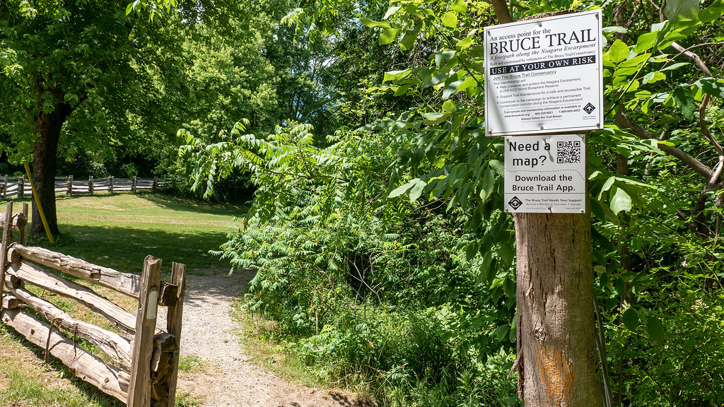
Bruce Trail App
Do you need help planning and navigating the Bruce Trail? There is an App for that!
The official Bruce Trail App is a comprehensive, GPS-enabled mobile tool for navigating the 1,300+ km Bruce Trail along the Niagara Escarpment. Available on iOS and Android, it provides up-to-date trail maps, offline map downloads, hike tracking, parking locations, and the ability to report trail issues directly to the Bruce Trail Conservancy. It is designed for all users, from casual hikers to those attempting the full End-to-End challenge.
Key Features:
- Up-to-Date Maps: Access 42 official, regularly updated trail maps from Queenston to Tobermory, including side trails.
- Offline Functionality: Download maps to use without cellular service.
- GPS Tracking: Follow your location in real-time, record hikes, and track progress, including elevation.
- Planning Tools: Locate parking, camping areas, and measure distances between points.
- Report Trail Issues: Easily report downed trees, overgrowth, or other issues directly to the maintainers.
- Detailed Information: Access trail features, such as Niagara Escarpment ecosystem information.
Subscription Details:
The app offers a free 7-day trial. Following the trial, a subscription is required, costing approximately $2.99/month or $29.99/year to support trail maintenance and conservation.
Click here for more information.